File:Vue (Le Mont-Saint-Michel) (2).jpg
From CODECS: Online Database and e-Resources for Celtic Studies
File:Vue (Le Mont-Saint-Michel) (2).jpg

Size of this preview: 800 × 600 pixels. Other resolutions: 320 × 240 pixels | 640 × 480 pixels | 1,024 × 768 pixels | 1,280 × 960 pixels | 2,560 × 1,920 pixels | 4,288 × 3,216 pixels.
Original file (4,288 × 3,216 pixels, file size: 627 KB, MIME type: image/jpeg)
Summary
| Description |
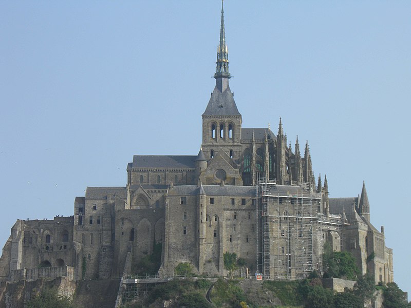
Français : Vue du Mont-Saint-Michel (Manche, France). |
| Date | |
| Source | Own work |
| Author | Gzen92 |
| Camera location | | View this and other nearby images on: OpenStreetMap |
|---|
| Object location | | View this and other nearby images on: OpenStreetMap |
|---|
|
This building is classé au titre des monuments historiques de la France. It is indexed in the base Mérimée, a database of architectural heritage maintained by the French Ministry of Culture, under the reference PA00110460
|
Licensing
I, the copyright holder of this work, hereby publish it under the following licence:
This file is licensed under the Creative Commons Attribution-Share Alike 4.0 International licence.
- You are free:
- to share – to copy, distribute and transmit the work
- to remix – to adapt the work
- Under the following conditions:
- attribution – You must give appropriate credit, provide a link to the licence, and indicate if changes were made. You may do so in any reasonable manner, but not in any way that suggests the licensor endorses you or your use.
- share alike – If you remix, transform, or build upon the material, you must distribute your contributions under the same or compatible licence as the original.
File history
Click on a date/time to view the file as it appeared at that time.
| Date/Time | Thumbnail | Dimensions | User | Comment | |
|---|---|---|---|---|---|
| current | 11:25, 8 November 2016 | | 4,288 × 3,216 (627 KB) | wikimediacommons>Gzen92 | User created page with UploadWizard |
File usage
The following 2 pages use this file:

_(2).jpg)
_(2).jpg)
_(2).jpg¶ms=048.634362_N_-001.509922_E_globe:Earth_type:camera_region:FR_type:landmark_scale:1500_heading:337.50&language=en-gb)
_(2).jpg¶ms=048.633908_N_-001.510938_E_globe:Earth_class:object_region:FR_type:landmark_scale:1500_&language=en-gb)
_(2).jpg)